From push to plume, in the field.
Boring logs, 3D plume views, and GIS-ready maps for environmental consultants running LIF/UVOST investigations.
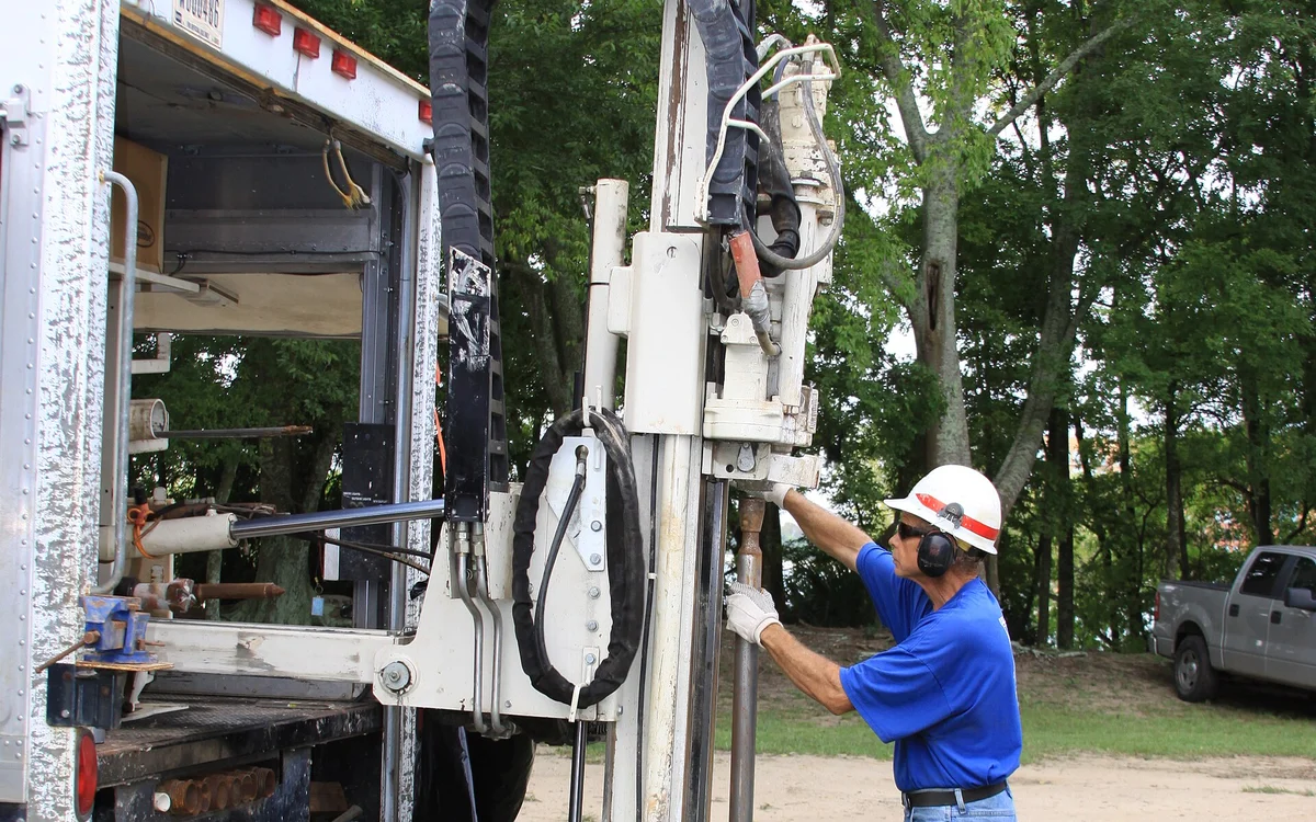
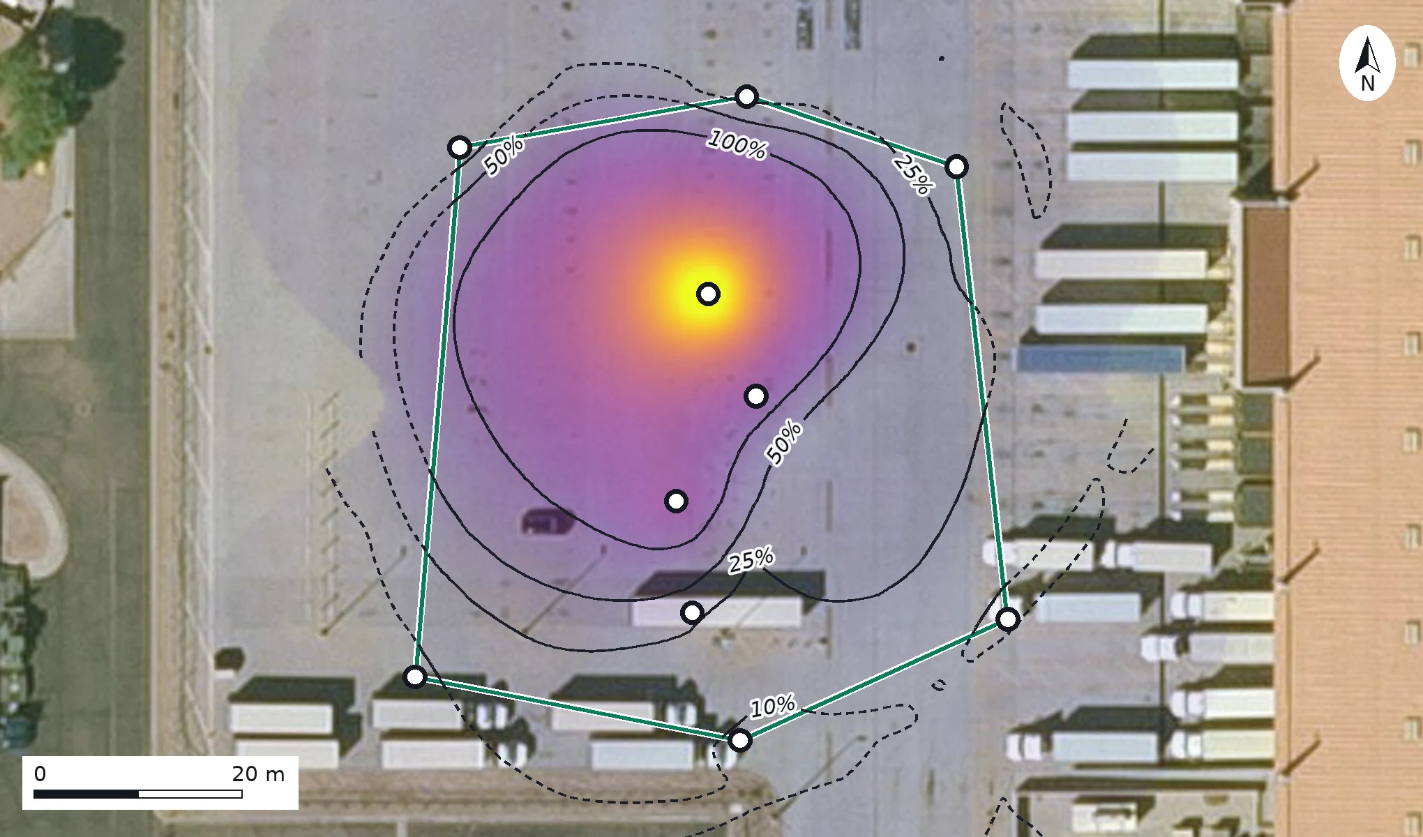
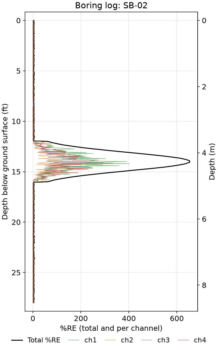
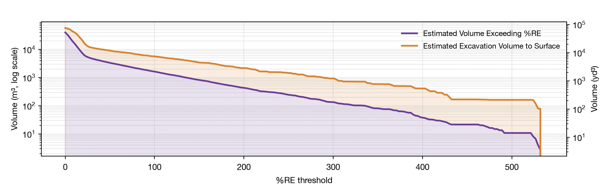
Real lif-viz output, generated from synthetic demonstration data — not a real site. Field photo: U.S. Army Corps of Engineers.
- Run it from the field. Upload over Starlink, a hotspot, or hotel wi-fi.
- Results in minutes, not days. No waiting on a contractor's next available slot.
- Share one link. The office sees the same 3D view while the crew is still on site.
No install. Just a browser.
Upload your LIF export files into the web app and go. No workstation setup, no license key, no IT ticket to open first.
Tune images your way.
Adjust color thresholds, viewing angles, and opacity live, then export GIS-ready files and report-ready images. Jobs are processed once and can be revised as needed without waiting on a vendor.